Elevating Perspectives with Precision
At Four Points Aerial Technology, we redefine the boundaries of innovation in aerial technology solutions. Our team of expert professionals leverages cutting-edge drone technology and sophisticated data analytics to provide unparalleled insights and services across various industries.
Our Services
Aerial Mapping
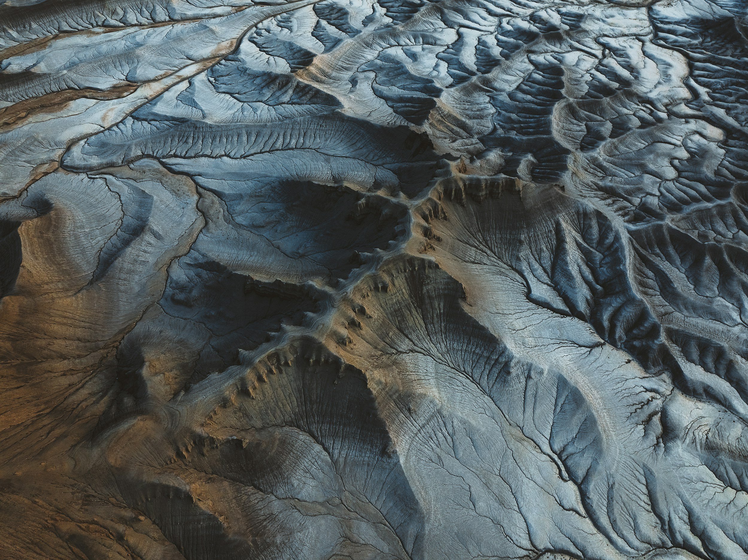
Experience high-definition aerial imagery and precise data capture for topographical mapping, construction projects, and environmental assessments.Inspection Solutions
Enhance safety and efficiency with our aerial inspection services, ideal for infrastructure, energy, and agricultural applications.Photography and Videography
Capture stunning visuals with our advanced drone platforms, perfect for real estate, events, and marketing campaigns.Why Choose Us?
Expertise
Our highly skilled technicians possess extensive knowledge and experience in aerial technology and data analysis.Innovation
We utilise state-of-the-art equipment and software to deliver superior results tailored to your unique requirements.Commitment to Safety
We prioritise safety and compliance, ensuring all operations adhere to the highest regulations and standards.Join us in transforming the way you view your projects and environments. Contact our team today to explore how Four Points Aerial Technology can elevate your ambitions through sophisticated aerial solutions.
Fully Licensed and Insured In Canada.